Search Results for: Nine Mile Creek State Forest

The Catskill Wilderness Areas

Trees and Mountains

The text of today’s fodder is based on the Catskill Park State Lands Master Plan, as revised in 2008. Maps were rendered by myself, using Quantum GIS and DEC Lands and Forests data.

Big Indian Wilderness

(Formerly Big Indian – Beaverkill Range Wilderness Area)

This wilderness is located in the Towns of Hardenburgh, Denning and Shandaken in Ulster County. It lies generally west of Oliverea and the Frost Valley Road, south of Belleayre Ski Center, east of Seager and Hardenburgh and north of Willowemoc and Claryville. The area ranges in width from 1 to 5 miles, is about 19 miles long and contains approximately 33,500 acres of land. Elevations range from 1,500 feet in McKenley Hollow to 3,840 feet where the state boundary crosses Doubletop Mountain. The mountains in the northeastern portion of the area are quite rugged, while those to the south and west are more characteristic of high hills. Water from the area flows into three New York City water supply reservoirs and the Delaware River Basin. Nine mountains or ridges with elevations of over 3000 feet make up the area.

Peaks

Doubletop* 3,860′
Haynes 3,420′
Big Indian 3,700′
Spruce 3,380′
Fir 3,620′
Eagle 3,600′
Hemlock 3,240′
Balsam* 3,600′
Beaver Kill Range 3,377′

* Maximum elevations given are not necessarily located within the Wilderness Area.

The forest cover is predominantly hardwood mixtures in various associations. Spruce and fir, while present at some of the higher elevations, are less noticeable here than in other Catskill wilderness areas.

Interior facilities consisting of foot trails and lean-tos are generally considered adequate.

Area statistics:

Approximate Area 33,500 Acres
Roads (non conforming) 1.4 Miles
Foot Trails 29.4 Miles
Lean-tos 6
Designated Campsites 5
Parking Lots 5
Public Use (visitors/year) 4,500
Exterior Boundary Line 67 Miles
Minimum Elevation 1,500′
Maximum Elevation 3,840′

Non-conforming uses:

Motor vehicle use of Black Bear Road from the wilderness boundary to Fall Brook Lean-to.

A UMP for this area was completed in June of 1993.

Hunter – West Kill Wilderness

(Formerly West Kill – North Dome Wilderness, Ox Clove Wild Forest, and a portion of the former Hunter Mountain Wild Forest)

The unit generally lies within the following boundaries: New York State Route 42 on the west, the Shandakan Wild Forest and NYS Route 28 to the south, and NYS Route 214 on the east. The northern extent of the unit is County Route 6, and continues along a line 100′ parallel to, and south or east of, the edge of Spruceton trailhead parking area and the centerline of the Spruceton Truck Trail, to the junction of the Colonel’s Chair Trail. A corridor, 100 feet either side of the center line of the Spruceton Truck Trail, from the Colonel’s Chair Trail to the summit of Hunter Mountain, culminating in a circle 175′ in radius from the center of the chimney on the observer’s cabin shall be within the Rusk Mountain Wild Forest.

The unit contains approximately 27,000 acres of land, and inside it’s boundaries are found the named mountain peaks of Balsam, Sherrill, North Dome, West Kill, Sheridan, Hunter and Southwest Hunter. Hunter Mountain is the second highest peak in the Catskills at 4,040 feet, and portions of it’s summit, along with a fairly extensive area on the summits of West Kill, North Dome and Sherrill Mountains are within the Catskill High Peaks Bird Conservation Area, and are of special significance in that they provide habitat for high elevation spruce-fir inhabitants such as Bicknell’s Thrush and the Blackpoll Warbler, among others.

There are currently two lean-to’s on the unit, the Diamond Notch lean-to located just off the Diamond Notch Trail, and the Devil’s Acre Lean-to off of the Devil’s Path Trail. Waters from this unit drain into Schoharie and Esopus Creeks and then into the Schoharie and Ashokan Reservoirs, which are in the New York City water supply system.

Area statistics:

Approximate Area 27,000 Acres
Foot Trails 18 Miles
Lean-to’s 2
Parking Lots 5
Minimum Elevation 920′ Maximum Elevation 4,040′

Indian Head Wilderness

(Formerly Plateau Mountain – Indian Head Mountain Wilderness Area)

This wilderness is located in the Town of Hunter, Greene County and the Towns of Saugerties and Woodstock, Ulster County. It lies generally west of the east boundary of the Catskill Park, south of Platte Clove, east of Devil’s Tombstone Campground and north of Lake Hill and Shady. The area ranges from 1 ½ miles to 3 ½ miles in width, is eight miles long and contains approximately 16,800 acres.

Elevations range from 900 to 3840 feet and the four major mountains in the area are visible against the skyline from all directions. Echo Lake, the only natural lake in a Catskill wilderness, is located in the east-central portion of the area. Water from this eastern section flows into the Kingston and Saugerties water supply reservoirs, while drainage from the central and western section flows into two New York City water supply reservoirs. Six named mountain peaks over 3,000 feet in elevation dominate the area.

Peaks

Plateau 3,840′
Indian Head 3,573′
Sugarloaf 3,800′
Olderbark 3,440′
Twin 3,640′
Plattekill 3,100′

The forest cover varies from extensive oak stands on the eastern most slopes to mature spruce-fir on top of Plateau Mountain. An excellent mature stand of northern hardwood and hemlock occupies the slopes south of the Saw Kill.

Echo Lake, unique to the Catskill wilderness, is very popular for undeveloped camping. A small number of scattered primitive tent sites with fire rings have been established and public camping is limited to their capacities.

Public access is provided by several foot trails entering the area, including the old road from Meads to Overlook Mountain.

Area statistics:

Approximate Area 16,800 Acres
Roads 6.6 Miles
Foot Trails 24.1 Miles
Cross-country Ski Trails 5.6
Lean-tos 3
Designated Campsites 10
Parking Lots 1
Public Use (visitors/year) 8,000
Length of Boundary 33 Miles
Minimum Elevation 900′
Maximum Elevation 3,840′

A UMP for this area was completed in October of 1992.

Slide Mountain Wilderness

(Formerly Slide Mountain – Panther Mountain Wilderness Area)

This wilderness is located in the towns of Shandaken, Denning and Olive in Ulster County. It lies generally south of NYS Route 28, west of West Shokan, north of the Peekamoose Road (County Route 42) and east of the Frost Valley Road (County Route 47). It surrounds the Woodland Valley Campground and abuts the Sundown Wild Forest to its south. This area ranges from 1 to 10 miles in width, is about 13 miles long, and contains approximately 47,500 acres of land. The wilderness boundary is 118 miles long.

The terrain is rugged and steep with elevations ranging from 1,100 to 4,180 feet. All water draining from the area eventually reaches three New York City water supply reservoirs by way of the East and West Branches of the Neversink River, Rondout Creek and Esopus Creek. Twelve named mountain peaks with elevations over 3000 feet exist in the area. Of these, six may still be considered trail-less to the extent that they have no marked and maintained trails.

Peaks with Trails

Slide 4,180′
Peekamoose 3,843′
Cornell 3,860′
Wittenberg 3,780′
Table 3,847′
Panther 3,720′

Trail-less Peaks

Lone 3,721′
Rocky 3,508′
Friday 3,694′
Van Wyck 3,206′
Wildcat 3,340′
Balsam Cap 3,623′

The forest cover consists of nearly every possible mixture and association of hardwood and softwood trees native to the mountain region. While hardwoods predominate higher elevations are often covered with red spruce and balsam fir.

This area receives more public use than any other Catskill wilderness. Superb vistas are found on Slide, Wittenberg, Cornell, Giant Ledge and Panther Mountains. Access via foot trails is available from the north, south, east and west.

Area statistics:

Approximate Area 47,500 Acres
Foot Trails 35.3 Miles
Lean-tos 3
Parking Lots 10
Designated Campsites 29
Public Use (visitors/year) 23,000
Length of Boundary 118 Miles
Minimum Elevation 1,100′
Maximum Elevation 4,180′

A UMP for this area was completed in March of 1987 and revised in October of 1998.

Windham – Blackhead Range Wilderness

(Formerly Blackhead Range, and North Mountain Wild Forests, and portions of Windham High Peak, and Black Dome Valley Wild Forests)

The combination of these Wild Forest areas creates the Windham – Blackhead Range Wilderness Area, which lies within the Greene County towns of Cairo, Hunter, Jewett, Windham and Durham. The classification of these former Wild Forest areas was changed to Wilderness because their combined area comprises approximately 17,100 acres and contains rugged, high elevation land that clearly exhibits wilderness character. This newly classified area has seven named mountain peaks over 3,000 feet in elevation.

They are:

Peaks Black Dome 3,980′
Windham High Pk 3,520′
Blackhead 3,940′
Stoppel Point 3,420′
Thomas Cole 3,940′
Burnt Knob 3,180′
Acra Point 3,100′

The unit also contains six unnamed peaks over 3,000 feet, which range from 3,040 feet to 3,540 feet in elevation. Of the five highest peaks in the Catskills, three – Black Dome, Thomas Cole and Blackhead – are in this unit. This concentration of 13 peaks over 3,000 feet, within an area of approximately 28 square miles, with limited access, structures and improvements (30 miles of maintained foot trails and two lean-to’s) make the Windham – Blackhead Range Unit an area with excellent wilderness character.

A fairly extensive area of old growth forest can be found on this unit at the higher elevations, along the ridge stretching from an area west of Thomas Cole Mountain to Blackhead Mountain, and on Windham High Peak. The presence of this old growth forest, with its distinctive flora and fauna, add to the wilderness character of the unit. The unit also includes the headwaters of the Batavia Kill and, to the south over the Blackhead Range, the headwaters of the East Kill. Both of these rivers flow into Schoharie Creek, and are an integral part of the New York City Watershed system.

The western boundary of this unit shall be the east side of the Elm Ridge Trail, Black Dome Trail leaving it within the Elm Ridge Wild Forest, continuing north along the drainage to the Catskill Park boundary. The southern boundary of the unit shall be the Escarpment Trail approximately one half mile south of Stoppel Point to a point on the Escarpment Trail where it comes closest to the eastern Forest Preserve boundary. Both North Point and Stoppel Point will be within the Wilderness area. Lands to the south of the south edge of the Escarpment Trail in this area, will be in the Kaaterskill Wild Forest.

Because the Windham – Blackhead Range Wilderness surrounds the smaller Colgate Lake Wild Forest Unit, and because they are linked together by public use, the Unit Management Plans for the two units shall be contained in one document.

Area statistics:

Approximate Area 18,0000 Acres
Foot Trails 30 Miles
Lean-tos 2
Parking Lots 1
Minimum Elevation 980′
Maximum Elevation 3,980′
June 20, 2021 Evening

Good evening! Partly clear and 82 degrees in Delmar, NY. There is a south breeze at 8 mph. πŸƒ. The dew point is 62 degrees. Back home again, as John Denver once sung. 🎢 Remarkably hot, especially now that I am back home after having a nice Sunday dinner at the folks house. πŸ‘• Slowly unpacking my gear from camping, taking steps to drink and cool down.

Well, happy summer folks. ☺ The next ten weeks through Labor Day Weekend are considered real summer when the state parks pools are open and the days are relatively long. πŸ– Nice hot summer days to spend at the pool or swimming hole. 🏊🏻‍♂️ Do some fishing 🎣 late into the night.

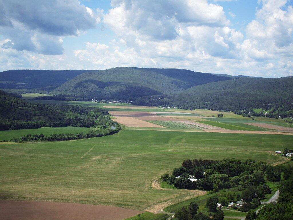
It was a beautiful trip back across the Mohawk Valley and through the Schoharie Valley. Everything was very green and lush.  It was a nice weekend up north, although Friday night was very wet. β˜” It drizzled for a while and then when I went for a good walk up to the Potholers it poured and I got completely soaked. πŸ’¦ It was decent all three days up north although I have to say that today was the best of the week. That said, much too short. πŸ‡ Time flies, especially when it’s rare that I am not out of town for four or more nights, in the era of remote work. But I decided I should come home tonight, because I need to at minimum move to a new campsite.

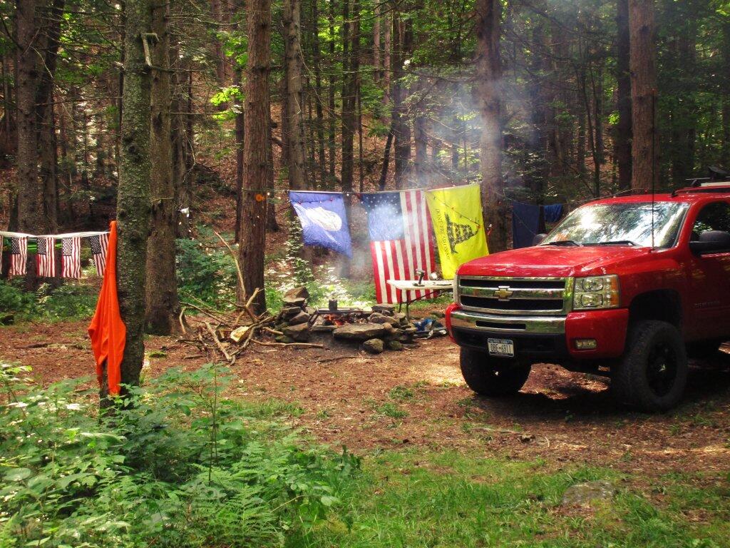
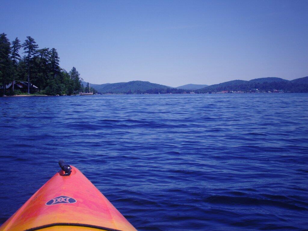
It was three nights up in the wilderness, πŸ• camping up at House Pond, spending much of Friday during the day drinking, 🍺 reading, πŸ“• writing, ✍ and hanging down at the Swimming Hole by the House Pond Campsite. 🏊‍♀️ It was nice but the water was a bit cold to say the least. πŸ›Ά Saturday, was kayaking from Stewart Landing up to Lily Lake. I didn’t go much into West Lake because I wanted to be close to back to Stewart Landing by 2 pm as they were threatening severe storms by afternoon, which never materialized. Instead, I spent the evening reading, and then down at the same swimming hole on the East Canada Creek. 🏊‍♀️ Most of Sunday was spent slowly taking down camp after a nice breakfast πŸ₯ž then the majority of the day the Potholers. I forgot how much nicer the Potholers are with the flowing water and potholes compared to any ordinary swimming hole on a nice summer day. It’s good to be back there!

Tonight will be mostly cloudy πŸŒ₯, with a low of 69 degrees at 5am. 10 degrees above normal. Maximum dew point of 66 at 3am. South wind around 8 mph. Probably need the fan on all evening. In 2020, we had mostly clear skies. It was somewhat humid. It got down to 69 degrees. The record low of 41 occurred back in 1970.

I thought about staying over the folks house, πŸ‘ͺ but I was tired and wanted to get home. It has been a nice weekend, but alas I should get ready for the work week and get my camping gear put away. I also want to get the volt meter out before dark, and try to figure out why the relay isn’t closing between the starting and accessory batteries when the engine is on or the solar is outputting enough to top off both batteries. πŸ”‹ That was annoying that wasn’t working this weekend.

Tonight will have a Waxing Gibbous πŸŒ” Moon with 81% illuminated. At 7 PM, the moon was in the southeast (139°) at an altitude of 26° from the horizon, some 226,818 miles away from where you are looking up from the earth. πŸš€ At the state speed limit of 55 mph, you’ll make it there by December 9th. Buckle up for safety! πŸ’Ί The Strawberry πŸ“ Moon is on Thursday, June 24. The darkest hour is at 12:58 am, followed by dawn at 4:43 am, and sun starting to rise at 5:18 am in the east-northeast (57°) and last for 3 minutes and 28 seconds. Sunrise is 11 seconds later than yesterday. πŸŒ„ The golden hour ends at 6:01 am with sun in the east-northeast (64°). Tonight will have 8 hours and 41 minutes of darkness, a decrease of 2 seconds over last night.

Tomorrow will have a chance of showers and thunderstorms, mainly after 4pm. Some of the storms could produce small hail, gusty winds, and heavy rain. Mostly sunny 🌞, with a high of 89 degrees at 3pm. Eight degrees above normal. Maximum dew point of 71 at 11am. South wind 10 to 17 mph, with gusts as high as 29 mph. Chance of precipitation is 30%. New rainfall amounts of less than a tenth of an inch, except higher amounts possible in thunderstorms. A year ago, we had partly cloudy skies in the morning with some clearing in the afternoon. It was somewhat humid. The high last year was 92 degrees. The record high of 97 was set in 1938.

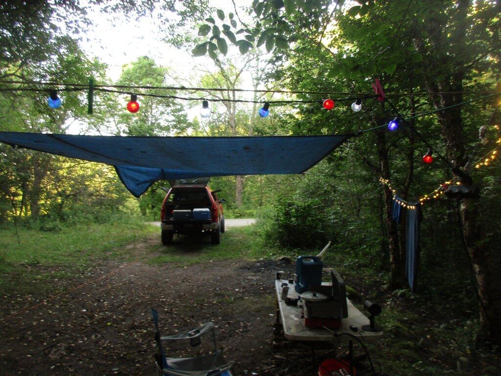
Friday turned out to be a very late start heading north. 🚍 I decided not to drive downtown as I’m out of practice with parallel parking and I hate dealing with rush hour traffic. πŸš™ So I took the bus home and packed the coolers but ended up having to run to the grocery store to get all the things I didn’t previously pack. But at least the nights are long, and I had plenty of time to get set up, gather some firewood πŸ”₯ and get things going.

The relay that connects the alternator – starting battery πŸ”‹ to the accessory batteries quit working on the way up to camp. Not sure if it’s the exciter wire that broke or the relay is seized. It was fine, I had lots of sun β˜€ for the solar so all was good. I stopped on Friday to try to get figure out the issue but nothing obvious. I’ll test this evening or tomorrow with the volt meter. ⚑ It’s possible that the big old can relay failed from the occasional clatter of the relay when clouds appear on a sunny day, although I think I have mostly arrested that by adjusting settings on the voltage control. I am betting the wire is just broken.

In four weeks on July 18 the sun will be setting in the west-northwest (300°) at 8:29 pm,πŸŒ„ which is 7 minutes and 24 seconds earlier then today. In 2020 on that day, we had hot and sunny weather with shallow fog in the morning and temperatures between 87 and 59 degrees. Typically, you have temperatures between 84 and 63 degrees. The record high of 100 degrees was set back in 1953.

By then, I hope to be on my summer vacation. 😎 I am thinking the Finger Lakes National Forest and the state parks circuit I normally do, finding new places to hike or explore. I kind of like that campsite I stayed at last year without cell service, because I find do a lot more reading and thinking if I’m camping somewhere without cell service, 🀫 the quiet with no Facebook quite nice. πŸ“± I admit I am a bit of social media addict, even if my own postings to social media are a bit more asinine as I hate all the creepy commercial advertising that follows you around the internet, especially the green schemes.

Looking ahead, Independence Day πŸ‡ΊπŸ‡Έ is Next Sunday, World Population Day πŸ‘©‍πŸ‘©‍πŸ‘§‍πŸ‘§ is in 3 weeks, Ugly Truck Day 🚚 is a month away, August 🌻 is in 6 weeks, Buck Moon πŸŒ• is in 9 weeks, Halloween πŸŽƒ is in 19 weeks, Average High is 50 πŸ‚ is in 21 weeks, Regular Deer Season in Southern Zone 🦌 is in 5 months, Repeal of Prohibition Day 🍺 is in 24 weeks, Cold Moon πŸŒ• is in 26 weeks and Boxing Day πŸ₯Š is in 27 weeks.

 Yesterday On Lake Pleasant

This June I’ve been thinking about places I want to go now that it’s gotten hot out and summer is underway … πŸ•

This June I’ve been thinking about places I want to go now that it’s gotten hot out and summer is underway … πŸ•

 Schoharie Valley

Schoharie County

The next two weekends are the Gas Up. The Mine Kill Pool opens on July 1st. Strawberries and so many other good things from farm stands in Schoharie Valley. Camp up at Burnt-Rossman State Forest, maybe connect up with some of my buddies out that way. Maybe do some fishing.

Camping At Betty Brook

Madison County

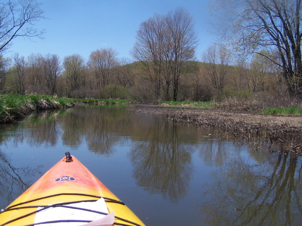
I have been biting to get out for another paddle on the Nine Mile Swamp. I also think a hike along Chenango Canal again would be delightful as long as it’s not ungodly hot. Also some bird watching and fishing in Sherbune at the Rogers Center. Of course if it’s hot, the beach at Glimmerglass Park might be nice.

Along One of Twists in Creek

Black River Valley

I haven’t been to the Black River Valley in about 5 years and it would be fun to spend a long weekend out that way in the Otter Creek Area, and meet up with some friends and poke around the Western Adirondacks.

 Keener Hill Road

Piseco-Powley Road

The Potholers of course. But also just a quiet, maybe extended weekend off the grid would be nice. I do like that swimming hole at House Pond Campsite, and some of the other hikes. And just relaxing and being off-the-grid for a few days. Maybe do clams in beer, that was so good that one hot summer weekend down at the House Pond Campsite.

Camp


July 6, 2020 Morning

Good morning! Back to work after the long weekend. That said, Friday was ugly with the humidity and those bad downpours. Mostly sunny and 63 degrees at the Green Mountain National Forest. There is a north-northwest breeze at 5 mph. πŸƒ. The dew point is 59 degrees.

The campsite I’m at has lots of shade so it should be cool. β˜€ Where I am parked πŸ…Ώ I should have sufficient sun midday to top off the battery bank but only time will tell. πŸ”‹ Going to be a hot day today but nothing like later in the week.

Today will be sunny 🌞, with a high of 80 degrees at 3pm. Two degrees below normal, which is similar to a typical day around June 25th. Maximum dew point of 61 at 8am. North wind around 5 mph. A year ago, we had partly cloudy skies in the morning, which became light rain by afternoon. It was very sticky. The high last year was 92 degrees. The record high of 97 was set in 1886.

So I’m continuing to work on the report I’m doing for work today after I clock in at nine. ⌚ Then I have a two o’clock meeting over the Zoom. I’m not planning on leaving camp today – tomorrow I’ll probably go to West Wardsboro for ice ❄ and maybe a swim 🏊 in Grout Pond. The creek – headwaters of the Deerfield River – quarter mile behind the camp is too small and dry for much cooling off.

Solar noon 🌞 is at 12:57 pm with sun having an altitude of 69.6Β° from the due south horizon (-0.8Β° vs. 6/21). Already dropping lower in the sky from the first day of summer but that may also have to do with I’m a bit farther north then Delmar. The golden hour πŸ… starts at 7:52 pm with the sun in the west-northwest (296Β°). πŸ“Έ The sunset is in the west-northwest (303Β°) with the sun dropping below the horizon at 8:34 pm after setting for 3 minutes and 27 seconds with dusk around 9:08 pm, which is 21 seconds earlier than yesterday. πŸŒ‡ The best time to look at the stars is after 9:54 pm. At sunset, look for mostly clear skies πŸŒ„ and temperatures around 69 degrees. The dew point will be 60 degrees. There will be a east breeze at 5 mph. Today will have 15 hours and 13 minutes of daytime, a decrease of one minute and one second over yesterday.

Tonight will be partly cloudy 🌀, with a low of 58 degrees at 4am. Three degrees below normal, which is similar to a typical night around June 21st. Maximum dew point of 60 at 8pm. South wind around 6 mph. In 2019, we had light rain in the evening, which became mostly clear by the early hours of the morning. It was somewhat humid. It got down to 64 degrees. The record low of 44 occurred back in 1979.

On this day in 1947, The AK-47 goes into production in the Soviet Union. πŸ”« Even after almost seven decades, the model and its variants remain the most popular and widely used assault rifles in the world because of their substantial reliability under harsh conditions, low production costs compared to contemporary Western weapons, availability in virtually every geographic region and ease of use. Maybe when I own land, can build my own shooting range out back in a free state I’ll own a non New York legal AR-15. I bet they’re a shit ton of fun to shoot, far more fun than my 22 with its various clips. πŸ’₯Plus they might be good for ventilating my trash burning barrels πŸ”₯ or shooting coyotes. 🐺

Hot and super muggy come the weekend. 😰 Saturday, a chance of showers and thunderstorms. Mostly cloudy, with a high near 80. Chance of precipitation is 50%. Maximum dew point of 70 at 12pm. Sunday, a chance of showers and thunderstorms. Partly sunny, with a high near 78. Chance of precipitation is 50%. Maximum dew point of 68 at 10am. Typical average high for the weekend is 82 degrees.

It’s possible I stay through the weekend, β˜€ but I have no real plans beyond today. It depends on how well the solar and internet works today, how well work goes and how difficult it is to keep food cold. I don’t want to have to keep running to the store to get ice, get real sweaty and not be near water πŸ’¦ to wash off or otherwise deal with the heat. It’s not like I’m on vacation in the Finger Lakes where each day I can eight hours a day at the swimming pool.

Stopping at the Red River